
Sunshine Triumphantly Returns:
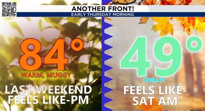
The entire area will finally get back to a drier and sunnier feel after a couple of gloomy days. It will feel refreshing. Expect the next few mornings to be cool, dry and wonderful! The next few afternoons will warm up to the 60s and 70s with more sun than not. Get outside!

Our next storm:
By Sunday, we get yet another early glimpse of what an El Nino pattern means for us in Texas over the Winter months: an active jet stream pattern with plenty of chances for rain. And boy, do we need it!
This storm system will roll into the southern plains by the weekend, and it could bring a return for area-wide rain and even a few thunderstorms for us late Sunday. It’s too early to make any calls, but a few storms could be strong and we could see some heavy rainfall chances. More to be determined as we get closer!

Next Few Days:
Thursday and Friday are shaping up to be beautiful November days across Houston. We’ll see mostly sunny skies, lower humidity and afternoon temperatures climbing into the upper 70s.

The biggest change will be noticeable during the mornings. Behind Wednesday night’s weak front, temperatures will drop into the 50s by Friday morning, with some communities north of Houston potentially dipping into the 40s.
Overall, it’s a great stretch of weather for getting outside, taking a walk or enjoying some fall sunshine.
Tracking the tropics:
The remainder of this hurricane season will limp to the finish line. Currently there are no disturbances developing in the Atlantic basin.
Another disturbance moving across Texas will bring increasing rain chances Sunday, with scattered showers and thunderstorms possible across the Houston area.
Some of the rainfall could be locally heavy, especially later Sunday into Sunday night. The exact timing and coverage will become clearer as we get closer to the weekend, but Sunday is currently looking like the wetter of the two weekend days. If you have outdoor plans, Saturday is your better bet!


